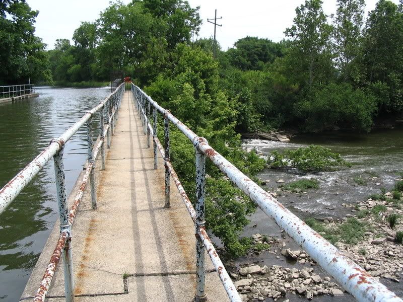
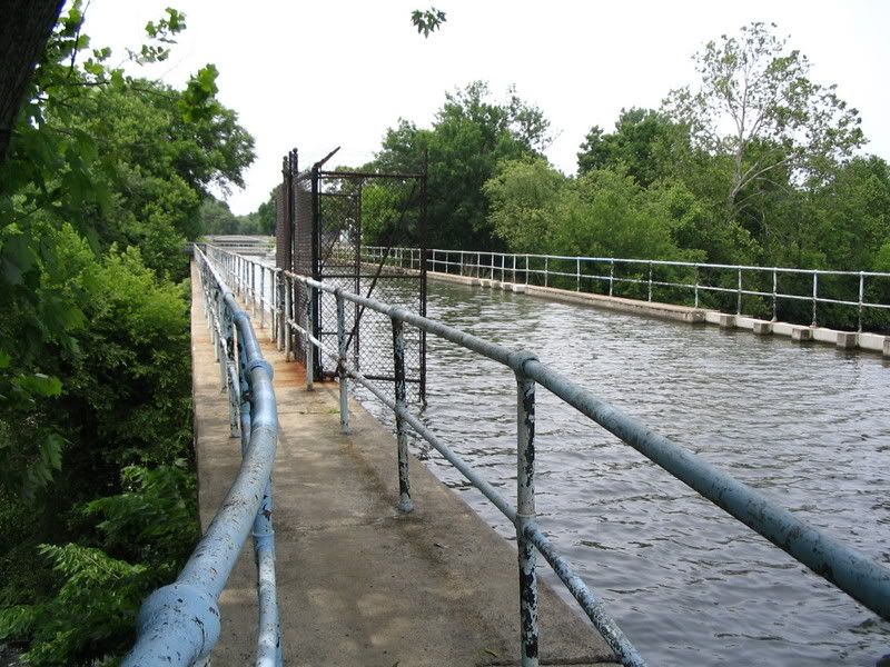
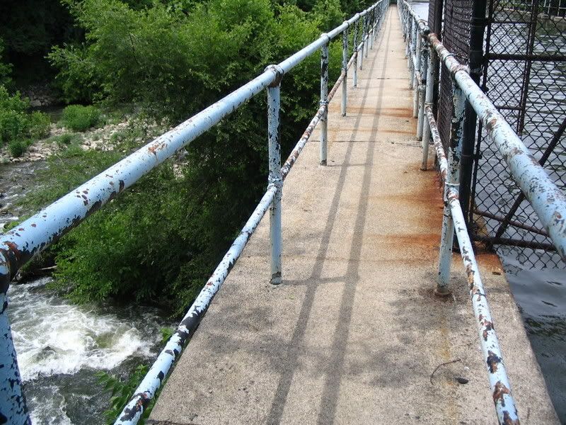
To get to it, you drive north off 16th St. onto the appropriately named Aqueduct St. After driving about a half mile, it dead ends very near a junk yard. Then you have to hop out of your car and (presumably trespassing) walk about a 10th of a mile back on a gravely path. At the end of your walk, you're presented with this:
Looking West:
 Aqueducts always get me. The juxtaposition of "tamed" and "wild" bodies of water always looks and feels very odd to me.
Note: these pictures were taken June, 2006.
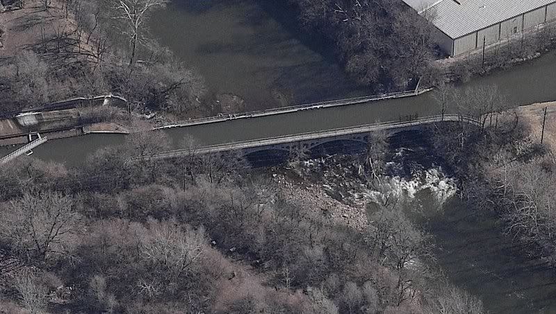
UPDATE (2/4): Finally took a look at the birds-eye shots that thundermutt mentioned in the comments. Here's a shot of the aqueduct from the South:


6 comments:
Sadly, concerns about drinking-water security are among the factors that have prevented Indy Parks from extending the canal trail across the aqueduct. In the post-9/11 world, it's probably not a good idea for people to know exactly where the water supply is most vulnerable.
Inasmuch as the canal and aqueduct are public property (part of the Indianapolis Water assets acquired by the City), I don't think you were trespassing.
There are some birdseye views of the aqueduct available on Microsoft Live Search. Go to http://maps.live.com/default.aspx and click on the Locations tab and type in an address, such as 2100 Aqueduct St. indianapolis, then click the "birdseye" tab.
A study of Lower Fall Creek for the Army Corps and Indianapolis (which was a feasibility study for extending the White River project up Fall Creek to Meridian Street) considered the aqueduct a major asset that should be a highlight of the trail system.
Thanks for the additional info thundermutt. And let me second Kevin's comment at Urban Indy that it's great to have your opinion and info around the blogs!
I've seen this from aerial photos, but never close up. Nice recon work!
I'll have go check this out some time. Cool stuff.
I was not aware of this - very cool - thanks for posting.
I find it fascinating how human engineering can coexist with nature.
Post a Comment